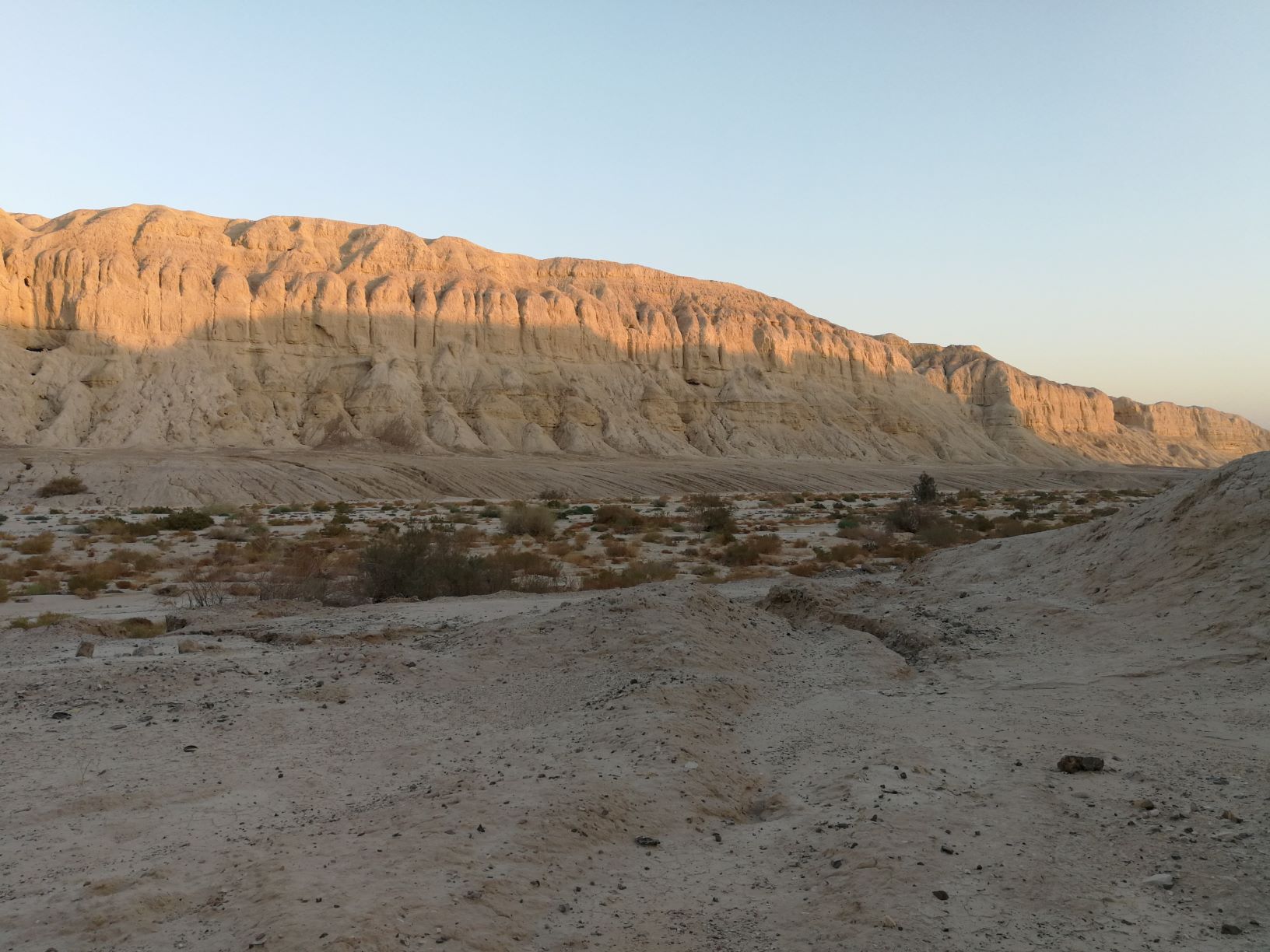
Skip to content

The Marlstone Gorge

More info

About

The Marlstone Gorge

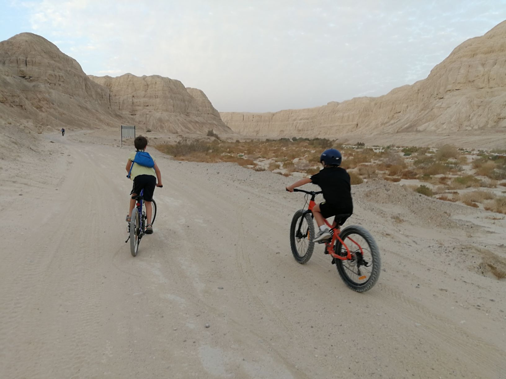
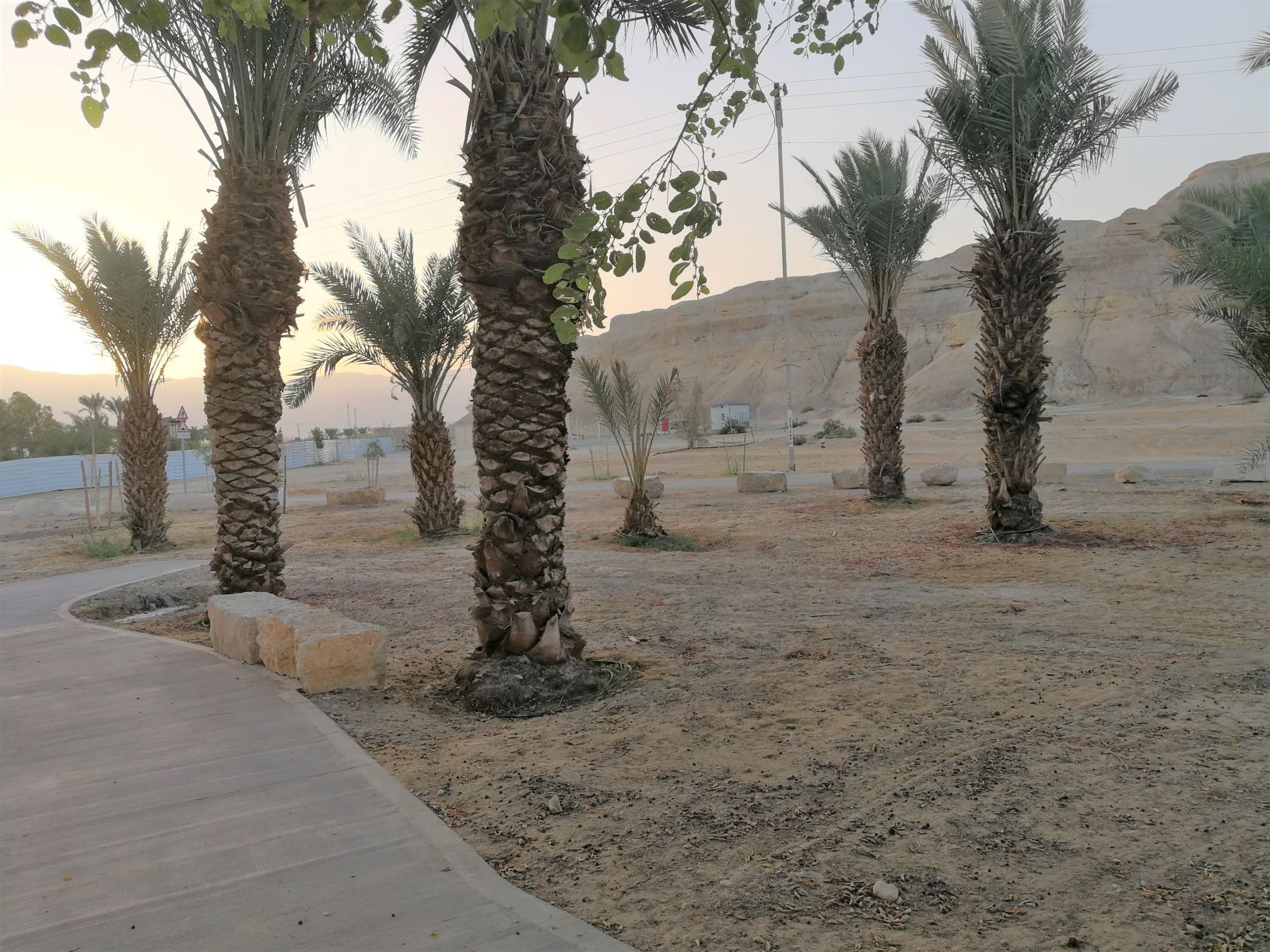
The circular cycling trail of Kikar Sodom offers a great cycling experience through the marlstone landscape, with diverse rock shapes and desert vegetation all along its length. A popular bike or jeep trail in the Dead Sea Land.

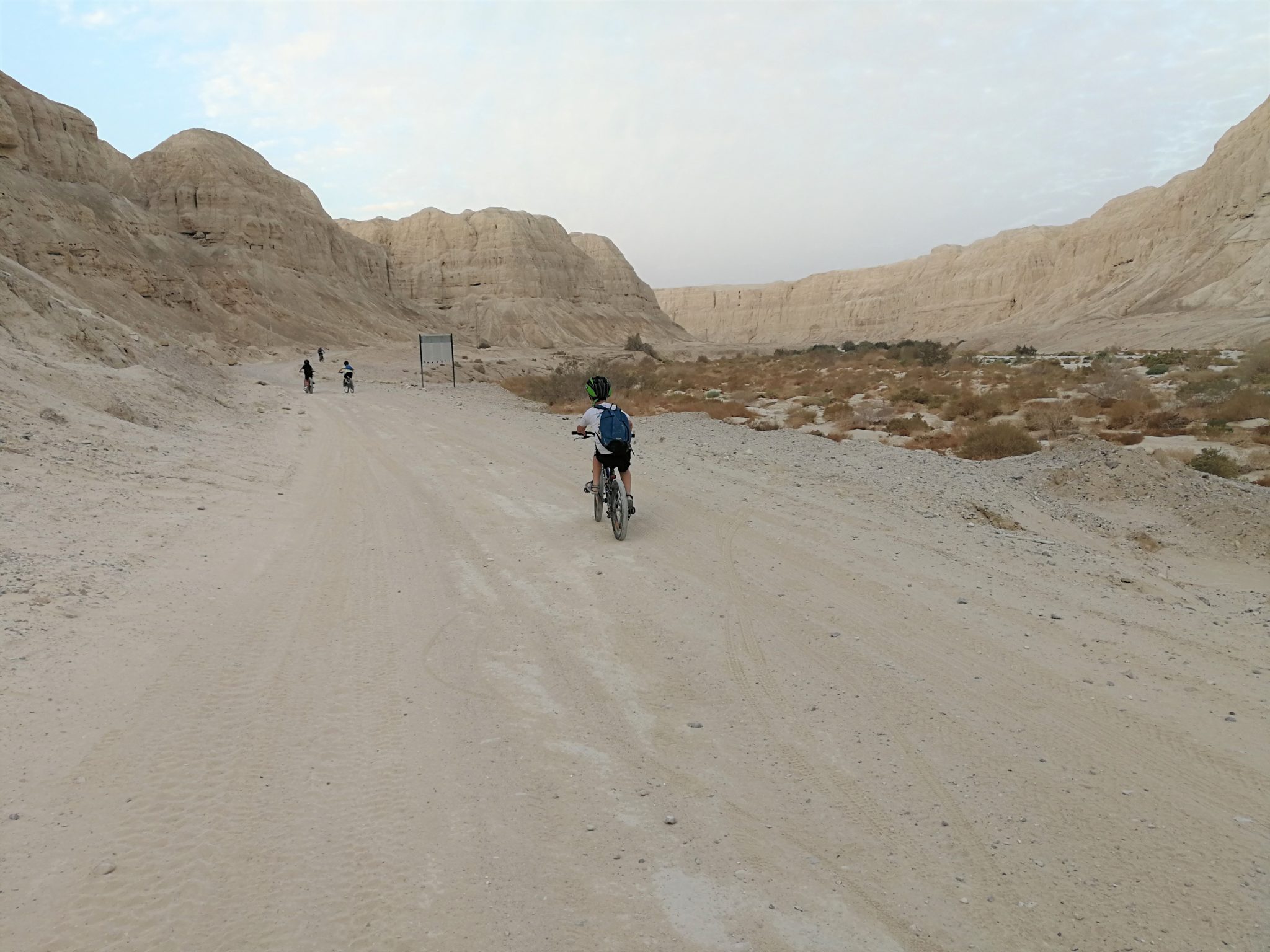
The cycling trail begins at Amatzia Park stream and ascends alongside an abundance of acacia trees, rotem shrubs and salvadora bushes. The path is signified by a red marker, up until the confluence of the Avia and Amatzia streams. The cycling continues along the impressive twists and turns of Avia stream – a narrow, shaded marlstone canyon – until reaching the Arava Road.

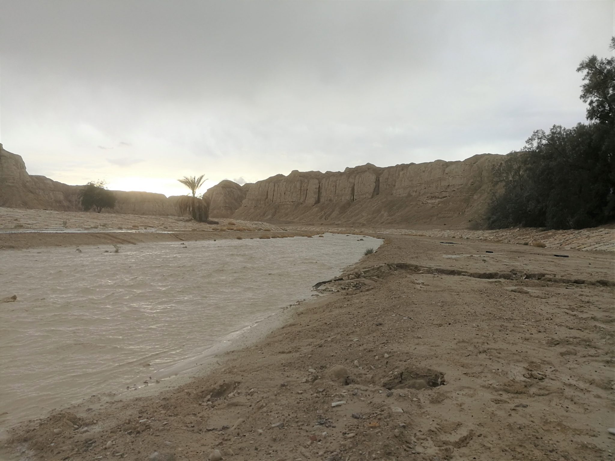
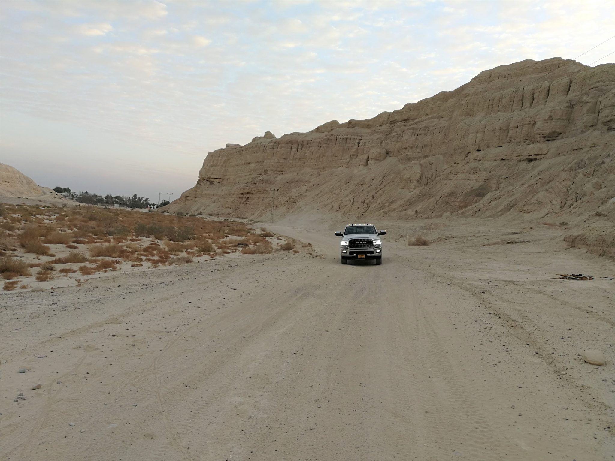
On the Arava Road, you’ll ride along a dirt track and follow the bike path markings descending to the track along the Marlstone Gorge. This cycling route winds in between a narrow, deep canyon, along the ‘tongue’ marlstone (a type of marlstone particular to the Dead Sea area). The descent into the Wadi (canyon) brings the cyclists to the entrance road of the Kikar Sodom settlements, to the point of Ein Plutit stream, for a nice, refreshing dip at the end of the bike ride.

Amatzia stream drains the Sodom Marls into the Dead Sea. It’s a relatively short stream in the Negev, about 20 km long, until it spills into the Sodom salt-flats. The stream drains the area between Moshav Idan and Ein Tamar and is a flood stream with steep walls created from sediment from the ancient ‘tongue’ lake (which later evolved into the Dead Sea as we know it today). Some sections of the stream give it a canyon-like appearance with crumbly-looking cliffs, which collapse in its wake after heavy rains.

The Marlstone Gorge is a classic track suitable for cycling lovers – beginners and experienced, off-road cyclists, alike. The circular track is about 27 km long. Experienced cyclists will cover it in about 3 quick hours of riding, and beginners will ride the track in about 4-5 hours.

  • Trail Length: 27 kilometers.
  • Trail Duration: 3-5 hours according to the cyclist.
  • Suitable for: cyclists
  • Recommended Season: autumn,winter and spring.
  • Trail Map: # Craters according to the map of the Society for the Protection of Nature.
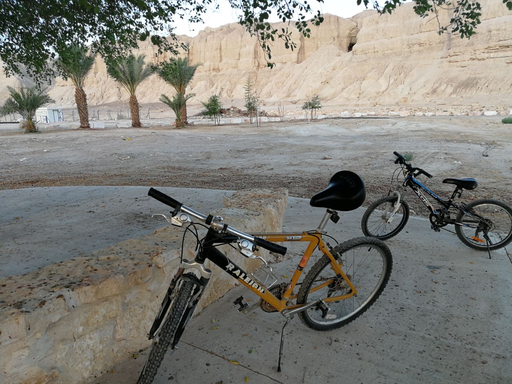
  • Starting Point: Amatzia Park stream
  • Finishing Point: Access road to the Kikar Sodom moshavs


The itinerary, as described above, is a recommendation only, and those who choose to take this trip do so at their own discretion and responsibility. The Regional Councils will not be held accountable in the event of any adverse consequences that may ensue.

Photo by:cof
Photo by:יוני שטרן
Photo by:יוני שטרן
Photo by:יוני שטרן
Photo by:יוני שטרן
Photo by:יוני שטרן
Photo by:יוני שטרן
Photo by:cof
Photo by:יוני שטרן
Photo by:יוני שטרן
Photo by:יוני שטרן
Photo by:יוני שטרן
Photo by:יוני שטרן
Photo by:יוני שטרן

Facilities and services

General details about the place
  • Cycling Trail
  • Degree of difficulty – medium
  • Round trip
  • Suitable alone
  • Suitable for families
  • כניסה בתשלום
  • כניסה למים- אפשרי בעין פלוטית
  • עונה מומלצת – סתיו, חורף, אביב.
  • צורך בציוד נילווה- אופני הרים, קסדה, ציוד רכיבה, נעלים סגורות, מים, מזון.

Contact The Marlstone Gorge

Location on the map
Contact
Email|[email protected] Address|

Access road to the Kikar Sodom settlements 2499

Phone|08-8000210
Hours of Activity|

24/7

Leave details and we will get back to you
Additional experiences that may interest you
Tracks

Rahaf Stream

Rahaf Stream is located south of Masada in one of the most beautiful and  impressive canyons in the Judean Desert. The stream begins in the Judean Desert  and ends in the Dead Sea, near Mount Elazar. It is 20 kilometers long with a  drainage area basin of nearly 80 square kilometers. The stream begins in the  Kenaiim Valley between Masada and Arad. From there, it makes its descent into  the Dead Sea. In Arabic, the stream is called “Wadi Khafaf,” which means “river  with rustling wings.”  The canyon of the stream is narrow and deep with many waterfalls and rapids. It  can be a challenging route and is suitable for rappelling, descending between the  rocks, crossing waterfalls with the help of ropes, and crossing the stream itself with  ropes, which can fill up after floods. In the middle of the canyon, at the point which  opens up a little and can be reachable without rappelling equipment, there is a  deep, shady, and beautiful ridge that was found filled for several months following  floods.​ At the stream, you’ll encounter Tristam’s starlings, which sometimes get so close  that they’ll eat from your hand.  There are green and blue trail marking throughout the route.    The itinerary, as described above, is a recommendation only. Those who choose to take  this trip do so at their own discretion and responsibility. The Regional Councils will not be  held accountable in the event of any adverse consequences that may occur. 
Tracks

Nahal Og

The stream channels of Nahal Og begin in northeast Jerusalem, and run parallel to Route 1 on the way to...
Tracks

From Deir Hajla to Wadi Nahil

This is a fascinating hiking trail that passes through marlstone landscapes where many phenomena are revealed - the results of...
Cookies

This website use cookies to improve site functionality, provide you with a better browsing experience, and to enable our partners to advertise to you.

Detailed information on the use of cookies on this Site, and how you can decline them, is provided in our cookie policy.

By using this Site or clicking on “I agree”, you consent to the use of cookies.

On the map