Skip to content

Nahal Darga

More info

About

Nahal Darga

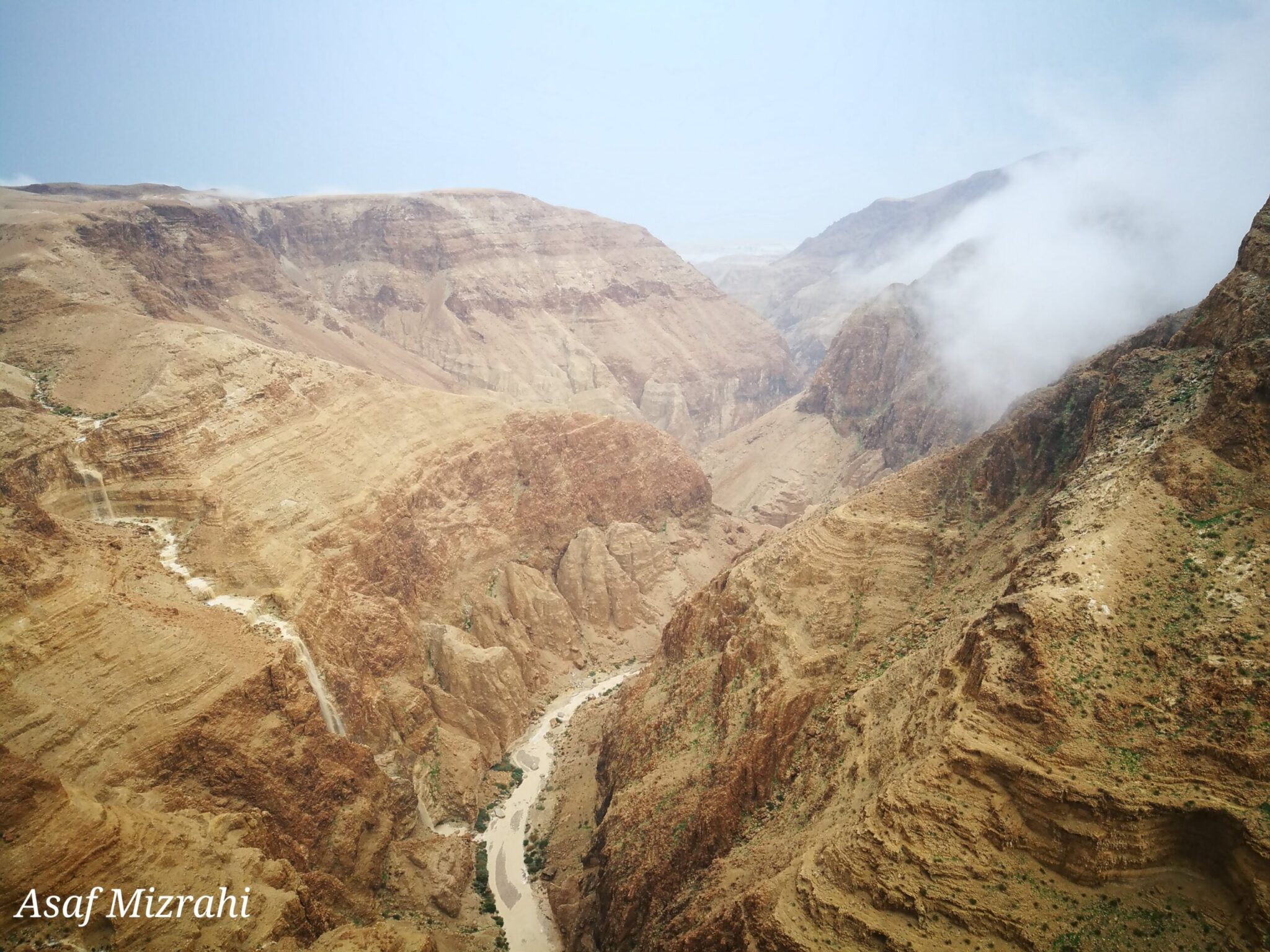
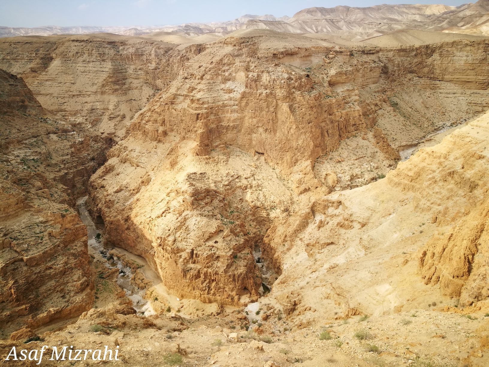
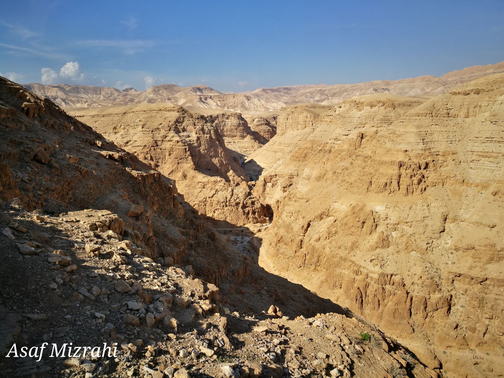
The Nahal Darga canyon is one of the most challenging, difficult and beautiful hiking trails in Israel.

The black-marked path, descending to the bottom of the gorge, passes close to Mashash Muraba’at – a pair of rectangular-shaped caves used by Bar Kochva and his warriors as a place of refuge to hide in. In one of the caves, a scroll was found containing the explicit name of Shimon Bar-Kochva, the leader of the uprising.

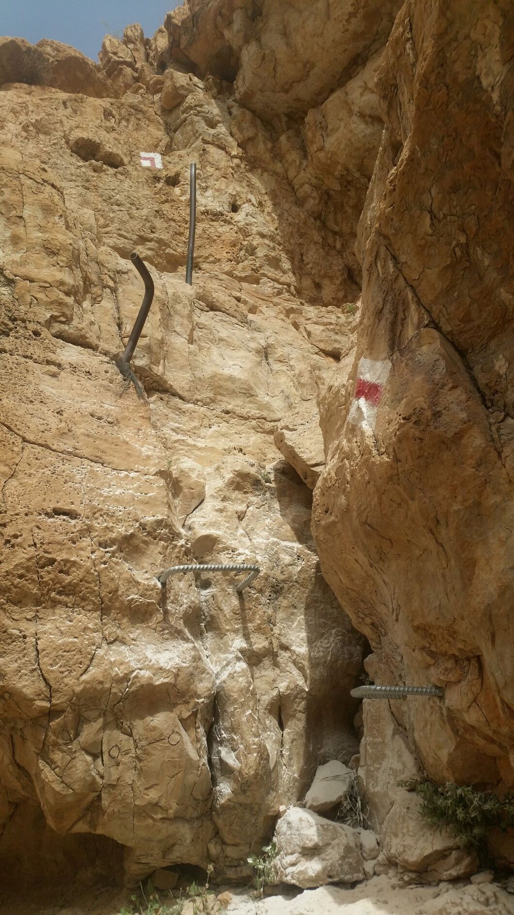
The start of this challenging route, is at the confluence of Nahal Darga and Nahal Tekoa. Safety measures are in-place along the route.

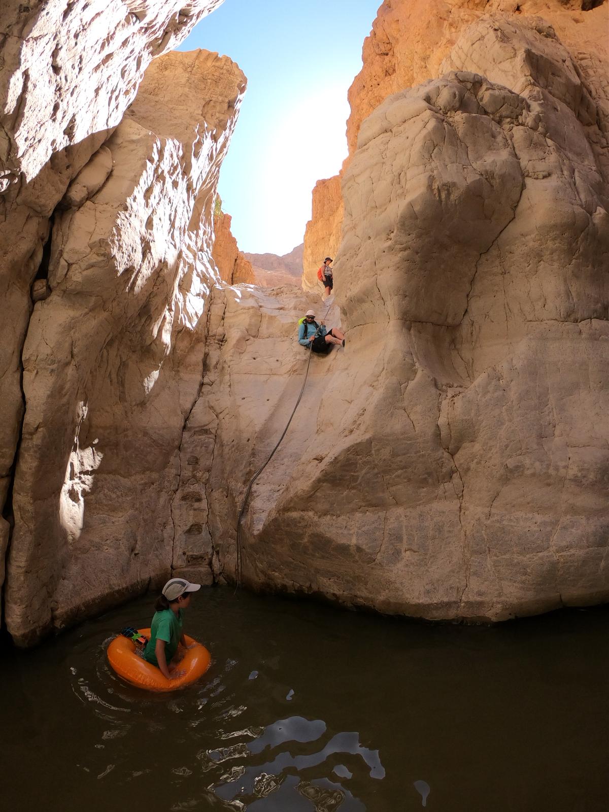
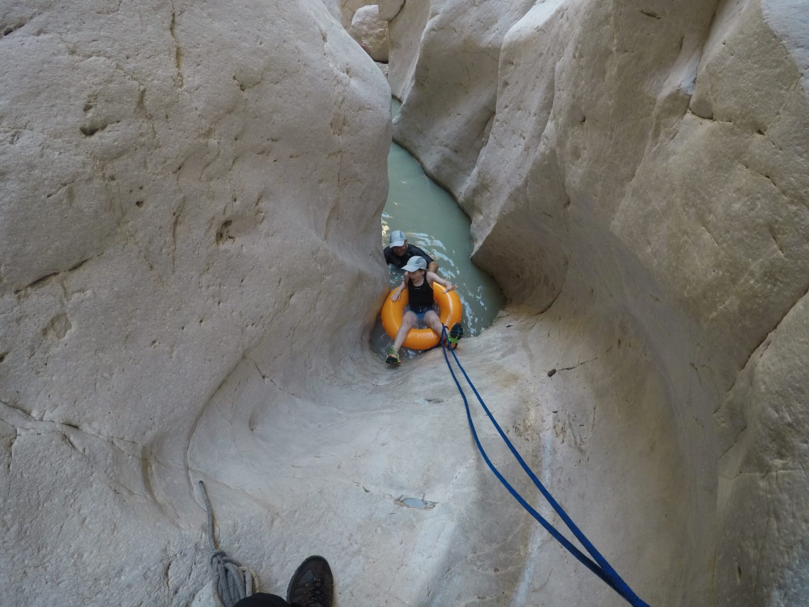
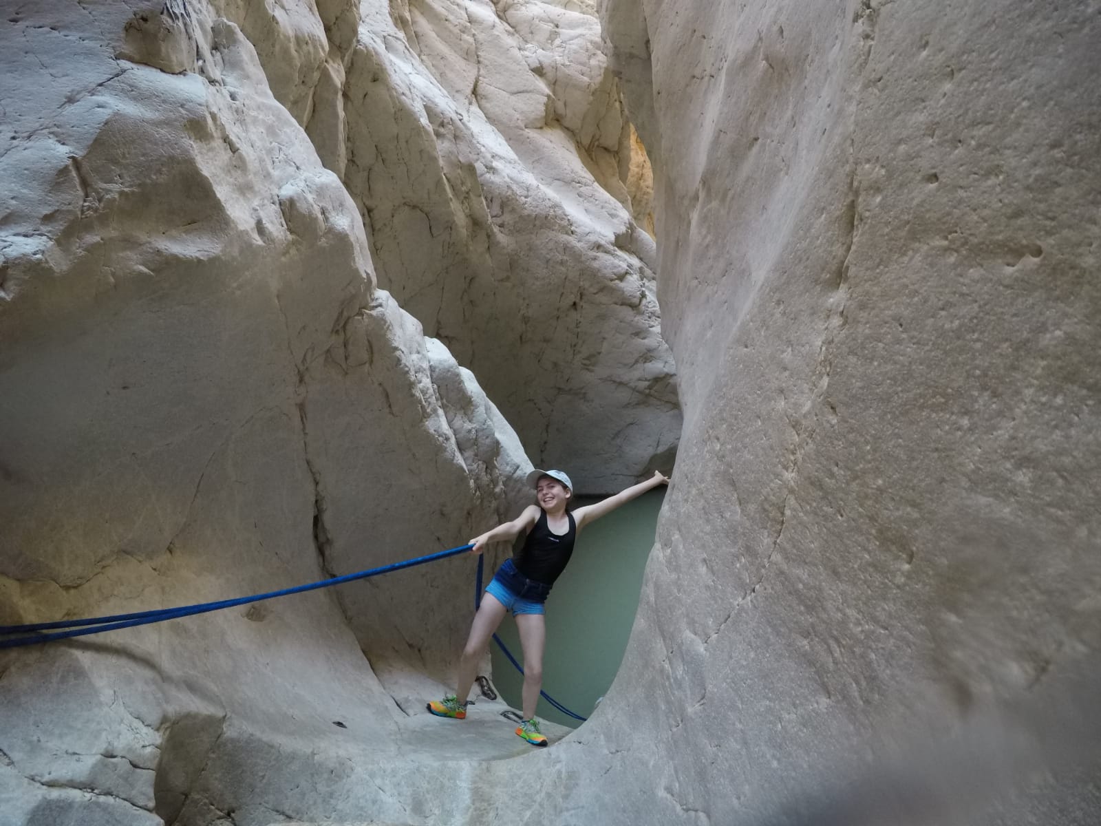
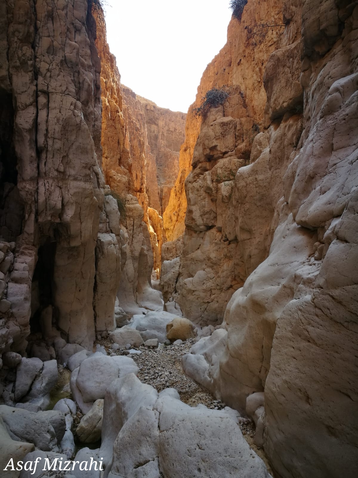
The track combines climbing down waterfalls by aid of ropes, and crossing cool water caverns by immersion and swimming.

The trip to the stream requires advance registration on the Nature Reserves and National Parks Authority website. It is mandatory to come equipped with a suitable rappelling-rope, according to the number of hikers, with a length of 30 meters.

In stormy and rainy weather, it is strictly forbidden to enter the stream for fear of flash-flooding.

  • Trail Length: approx. 9 kilometers
  • Trail Duration: approx. 8 hours
  • Suitable for good walkers and challenge-seekers.
  • Recommended Season: spring/autumn/winter
  • Trail Map: #8
  • Trail Marks: Color Green 8433/ Color Black 8426/ Color Green 8428
  • Starting Point: the Information Center close to Metzoke Dragot Holiday Village
  • Finishing Point: on the Nahal Darga bridge on Route 90


Please note:
you should bring sealable plastic bags for your phone and other articles that are important to keep dry. There is no avoiding full immersion in the water, including your equipment.

The itinerary, as described above, is a recommendation only, and those who choose to take this trip do so at their own discretion and responsibility. The Regional Councils will not be held accountable in the event of any adverse consequences that may ensue.
Facilities and services

General details about the place
  • Degree of Difficulty: for good walkers
  • Entering Water
  • Free Entry
  • Linear trip
  • Night Camp
  • Picnic area
  • Requirement for Ancillary Equipment
  • Suitable alone
  • Walking trail

Contact Nahal Darga

Location on the map
Leave details and we will get back to you

שאלות נפוצות

  • How difficult is the Nahal Darga trail?

    It is one of the most challenging and difficult hiking trails in Israel, suitable only for good walkers and challenge-seekers.
  • What equipment do I need to bring?

    You need a suitable rappelling rope of 30 meters, matched to the number of hikers, as well as sealable plastic bags to protect your phone and other items from water.
  • Do I need to register before hiking this trail?

    Yes, advance registration is required via the Nature Reserves and National Parks Authority website.
  • How long is the trail and how much time does it take?

    The trail is approximately 9 kilometers long and takes about 8 hours to complete.
  • What is the best season to hike Nahal Darga?

    The recommended seasons are spring, autumn, and winter.
  • Is it safe to hike during rainy weather?

    No, it is strictly forbidden to enter the stream during stormy or rainy weather due to the risk of flash flooding.
  • What historical sites can be seen along the trail?

    The trail passes close to Mashash Muraba'at, caves used by Bar Kochva and his warriors as a refuge, where a scroll bearing Shimon Bar-Kochva's name was discovered.
Additional experiences that may interest you
Tracks
Duration: 04:00 hours

Nahal Tamar – Nahal Tzafit

The Nahal Tamar/Nahal Tzafit trail, is a fascinating and challenging route with ladders, ropes, rock-stairs and, of course, a lookout-point...
Tracks
Duration: 02:00 hours

Mashash Muraba'at

Nahal Mashash is a typical stream in the Judean Desert with a steep canyon, various animals, and plants unique to...
Tracks

Monks' Caves

Seclusion in the desert is an historical phenomenon, known throughout the ages. Many hermits came to the Judean Desert and...
On the map