Skip to content

Ein Plutit

More info

About

Ein Plutit

Ein Plutit is the perfect place for those who want to dip their feet in the water, without all that ‘walking business’ beforehand. A short deviation from the road leads to Neot HaKikar (square) and Ein Tamar and, in just a few more small steps – you’re there!

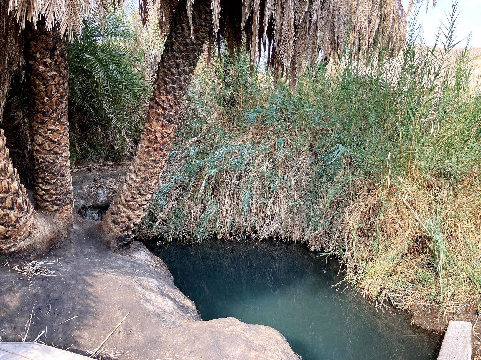
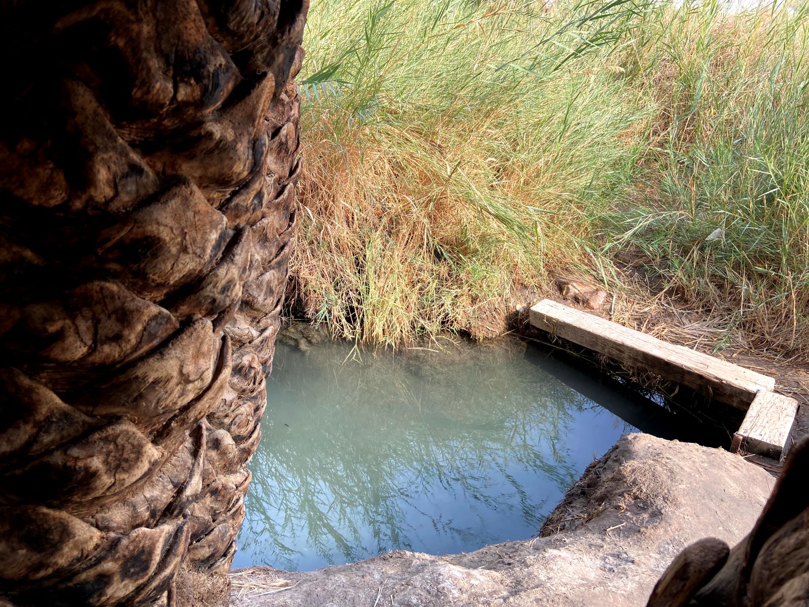
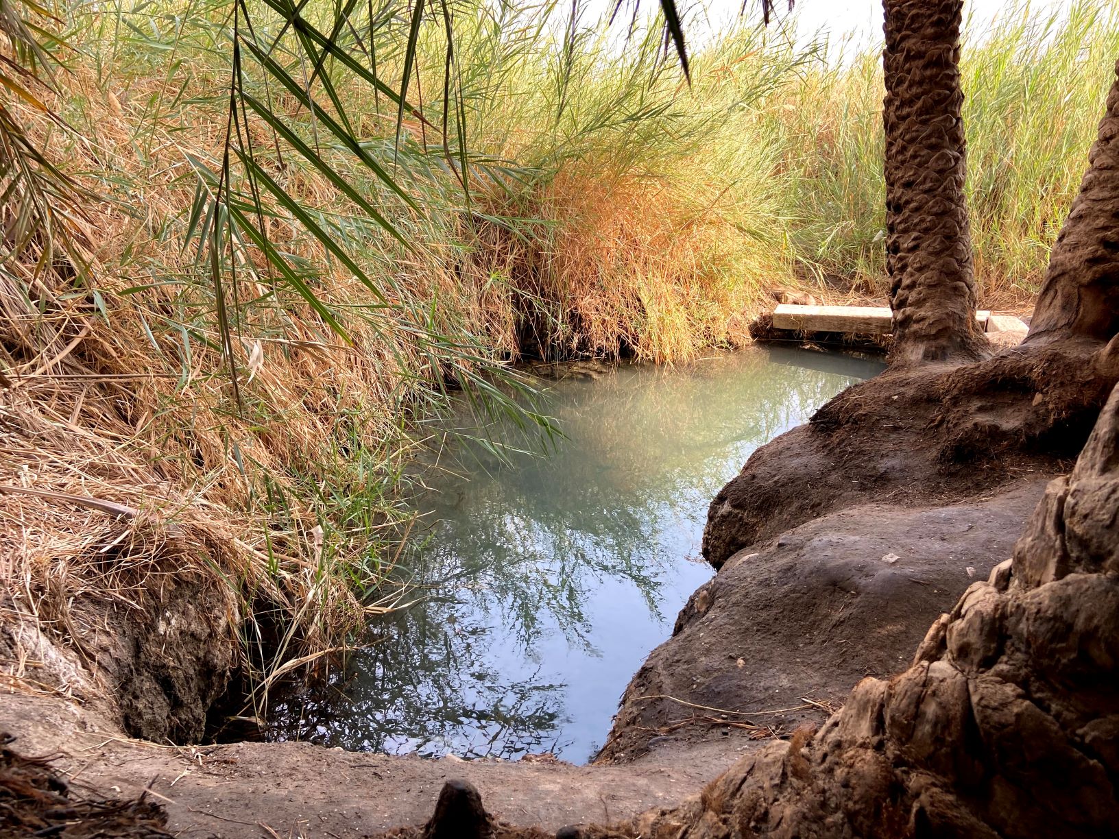
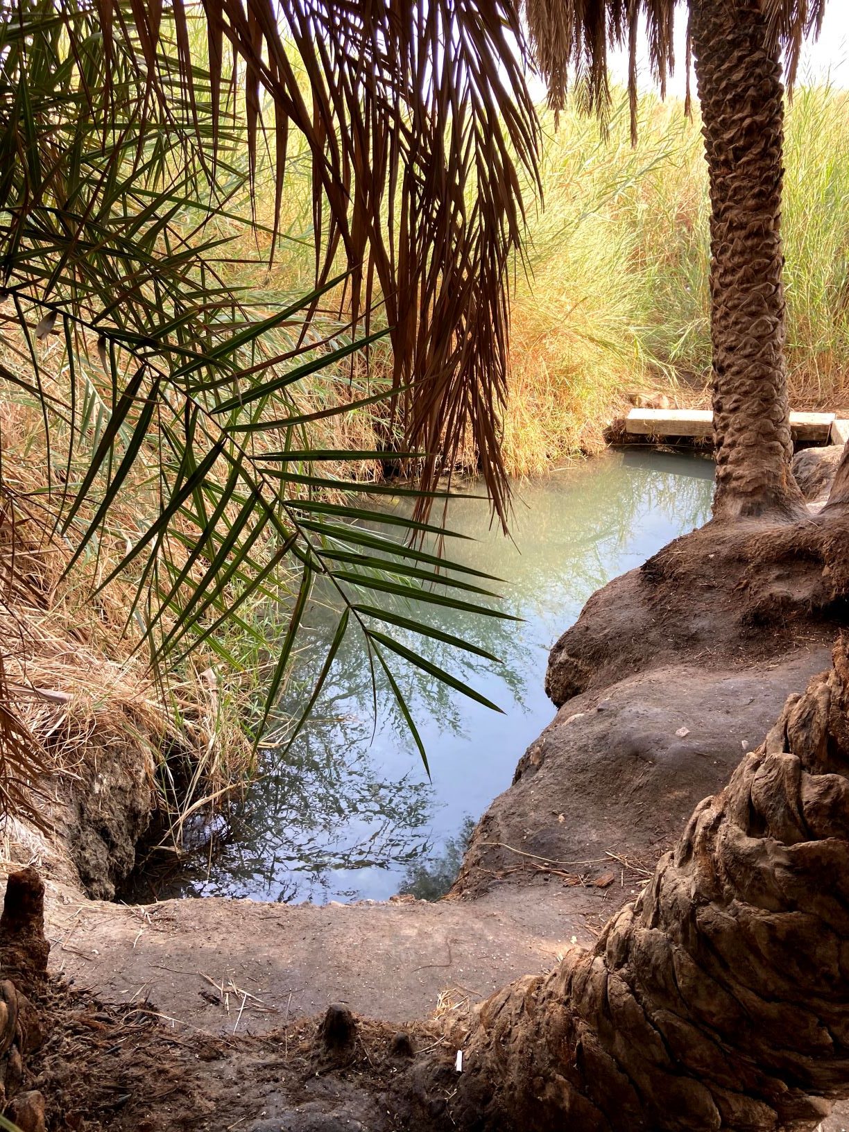
Ein Plutit is a surprising place. Its location by the side of the road, in the middle of the desert, doesn’t give the slightest hint of what will be revealed to you. A small, cool, crystal-blue pool surrounded by palm trees that provide shade and also give a sense of complete detachment from what’s going on around you. To complete the atmosphere, a lovely wooden bridge has been built there and you can just sit back, cool your feet, listen to Nature and imagine you’re on another planet.

  • Difficulty Level: Non-existent
  • Recommended season: all year round
  • Trail Map: Number 14 – Northern Arava and Eastern Negev
  • Departure and Finishing Point: From Route 90 turn towards the Moshavs of Kikar Sodom, and drive for 6 kms. until you see, on the left side, a small, unpaved area with signs (in Waze: Ein Plutit).
  • Logistics: A reliable coffee kit.

The itinerary, as described above, is a recommendation only, and those who choose to take this trip do so at their own discretion and responsibility. The Regional Councils will not be held accountable in the event of any adverse consequences that may ensue.
5 Wet-Walks for the Shavuot Holiday

Photo by:עין פלוטית
Photo by:עין פלוטית

Facilities and services

General details about the place
  • Accessible to pushchairs/wheelchairs
  • Degree of difficulty – easy
  • Entering Water
  • Free Entry
  • Suitable alone
  • Suitable for families

Contact Ein Plutit

Location on the map
Contact
Email|[email protected] Address|

Route 90, on the way to the Kikar Sodom settlements (in Waze: Ein Plutit)

Phone|08-8000210
Hours of Activity|

all year round, 24/7

Leave details and we will get back to you

שאלות נפוצות

  • What is Ein Plutit?

    Ein Plutit is a small, cool, crystal-blue natural pool surrounded by shady palm trees, located right by the roadside in the middle of the desert on the way to Kikar Sodom.
  • Is Ein Plutit hard to reach?

    Not at all. The difficulty level is non-existent — it only takes a few small steps from the parking area to reach the pool, with no real hiking involved.
  • What will I find at the site?

    A small, cool, crystal-blue pool shaded by palm trees, along with a lovely wooden bridge where you can sit, cool your feet in the water, and enjoy a sense of complete detachment from your surroundings.
  • Is there an entrance fee?

    No, entrance to Ein Plutit is free.
  • Is Ein Plutit accessible for strollers or wheelchairs?

    Yes, the site is accessible for strollers.
  • Is Ein Plutit suitable for families and solo travelers?

    Yes, it is suitable both for families and for solo visitors.
  • When is the best time to visit?

    Ein Plutit can be visited all year round.
Additional experiences that may interest you
Tracks

From Deir Hajla to Wadi Nahil

This is a fascinating hiking trail that passes through marlstone landscapes where many phenomena are revealed - the results of...
Tracks
Duration: 03:00 hours

Maale Yair route

The steep road in the south of the Judean desert was formerly called Ma'ale Yaalim. Yair Peled, the commander of...
Tracks
Duration: 02:00 hours

Rahaf Stream

Rahaf Stream is located south of Masada in one of the most beautiful and  impressive canyons in the Judean Desert. The stream begins in the Judean Desert  and ends in the Dead Sea, near Mount Elazar. It is 20 kilometers long with a  drainage area basin of nearly 80 square kilometers. The stream begins in the  Kenaiim Valley between Masada and Arad. From there, it makes its descent into  the Dead Sea. In Arabic, the stream is called “Wadi Khafaf,” which means “river  with rustling wings.”  The canyon of the stream is narrow and deep with many waterfalls and rapids. It  can be a challenging route and is suitable for rappelling, descending between the  rocks, crossing waterfalls with the help of ropes, and crossing the stream itself with  ropes, which can fill up after floods. In the middle of the canyon, at the point which  opens up a little and can be reachable without rappelling equipment, there is a  deep, shady, and beautiful ridge that was found filled for several months following  floods.​ At the stream, you’ll encounter Tristam’s starlings, which sometimes get so close  that they’ll eat from your hand.  There are green and blue trail marking throughout the route.    The itinerary, as described above, is a recommendation only. Those who choose to take  this trip do so at their own discretion and responsibility. The Regional Councils will not be  held accountable in the event of any adverse consequences that may occur. 
On the map